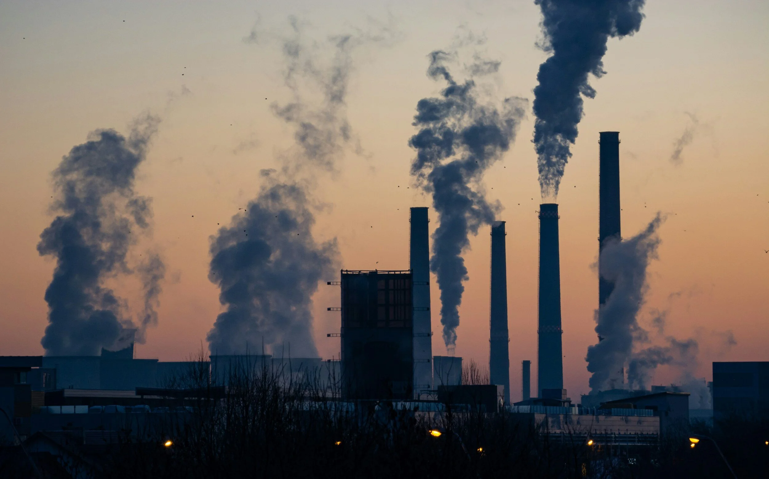
If you feel like the summers are getting hotter, they are. The world is warming, and hotter weather not only impacts the environment but also impacts our health. Some neighborhoods feel the effects of our warming world more than others. Average temperatures in the lower forty-eight states have been rising slowly since 1901, at an average rate of 0.17 degrees Fahrenheit per decade. However, since the 1970s this rate has increased significantly to between 0.32 degrees Fahrenheit and 0.55 degrees Fahrenheit per decade in the United States (“U.S.”). The global average rate of warming remains at 0.32 degrees Fahrenheit, meaning that parts of the U.S. have warmed faster than the global average rate.
Rising temperatures across the U.S. threaten public health, including the wellbeing of people and communities. Extended exposure to high temperatures puts physiological stress on the human body, which can be dangerous and even deadly. Hotter weather is also associated with more frequent heat-related illnesses, such as cardiovascular and respiratory diseases, heat stroke, and cerebrovascular disease. These illnesses can cause prolonged sickness, poor health, and death, raising the possibility of public health emergencies. The Centers for Disease Control and Prevention tracks heat-related illnesses in the U.S. Based on statistics from 2018, an average of 702 people die from heat every year. Further, an average of 9,235 people are hospitalized and 67,512 people visit an emergency room yearly due to heat. Extreme heat kills more Americans than any other weather-related disaster, and the danger will only continue to grow as the Earth gets hotter.
Although temperatures are rising across the country, certain groups of people feel the heat more than others. According to the World Health Organization, “some populations are more exposed to, or more physiologically or socio-economically vulnerable to physiological stress, exacerbated illness, and an increased risk of death from exposure to excess heat.” These groups include children, older adults, outdoor laborers, people experiencing poverty, unhoused people, and more. While local city governments often advise people, including vulnerable populations, to limit outdoor activity and stay hydrated when heat waves pass through, this remedial advice does not consider why certain groups are more exposed in the first place. There are environmental inequities that play a role.
Generally, cities are hotter than rural areas because of “urban heat islands.” Urban heat islands occur when dense concentrations of concrete, buildings, and other materials that absorb and retain heat replace natural land in cities. The current infrastructure that maintains urban areas is unnatural and hot. Natural greenery and land can help to maintain lower temperatures, but the scarcity of trees and other green spaces to absorb and deflect the sun or provide shade means more heat in cities. Many cities’ lack of trees and green space leads to increased energy costs, air pollution levels, heat-related illness, and death in urban communities.
The effects of temperature and heat in cities are different from rural areas in another distinct way. The temperature within a single city can vary as much as twenty degrees Fahrenheit from one neighborhood to another. Tree coverage helps to maintain cooler temperatures, meaning that hot days may be more dangerous for people in some parts of a city than others due to environmental disparities. There is a geographical inequity in who is exposed to more severe heat.
To understand the source of this environmental inequity, we must look back nearly a century. Racially discriminatory federal housing practices from the 1930s created maps that “redlined” specific neighborhoods, and those neighborhoods have fewer trees and higher temperatures today. The discriminatory history of federal housing practices helps to shed light on where environmental inequities in access to green space originate. In 1933, under the shadow of the Great Depression, Congress created the Home Owners’ Loan Corporation (“HOLC”) to help people pay their mortgages. The federal government created this program intending to assist struggling Americans, yet they developed a racialized system to determine the (perceived) risk of investing in certain neighborhoods. Ultimately, the HOLC decided where, and who, was worth investing in.
State and local governments worked with the federal government to invest in homeownership by providing loans in cities across the country, but only for certain neighborhoods. The HOLC formulated a method of determining which neighborhoods were “safe” to invest in and which were “hazardous” by assigning areas a grade and creating a color-coded scale of neighborhoods that ranked them based on grade. To create this graded scale, the HOLC used a number of factors, explicitly including race, to determine an area’s perceived long-term value. This is how the government decided whether it would help people secure mortgages in a given neighborhood.
Using maps, the HOLC outlined the “safest” areas of investment in green (grade A) and blue (grade B); these were areas with a predominantly U.S.-born white population and newer housing. There was yellow shading (grade C) as well, which signified somewhat older buildings and the presence of residents born outside of the U.S., or as one appraiser wrote, that “Black families sometimes walked through.” But it was the red areas (grade D) that were deemed “hazardous” for investment. Grade D areas were shaded red on HOLC maps and housed more racial and ethnic minorities, residents born outside of the U.S., and families on federal assistance, and these areas often consisted of older buildings. This practice was known as “redlining.”
The result was a two-tiered racialized lending system, with federally backed mortgages in higher-graded white neighborhoods and predatory schemes or no mortgage lending in lower-graded minority neighborhoods. There is abundant evidence that this racist housing policy has led to long-term social and economic impacts on and divestment from communities of color. Further, there is also a clear environmental justice impact from the practice of redlining. Those redlined neighborhoods from the 1930s today have the fewest trees and green space and boast the hottest temperatures within cities.
A 2020 study of thirty-seven cities around the country found that neighborhoods graded D and redlined by HOLC in the 1930s have half as many trees as predominantly white neighborhoods that were graded A. The neighborhoods of color that were marginalized by the government and excluded from federal housing assistance still feel the economic impact of this divestment today. Currently, communities redlined in the 1930s have higher rates of poverty and lower economic mobility than those given higher grades. These redlined communities are also at greater risk for loan denial, subprime lending, and lower home values, which deepen and perpetuate residential and economic segregation.
The race-based evaluations of creditworthiness that were made by the HOLC not only influenced people’s access to wealth accumulation, but also their access to political power. People who lived in A-graded areas had the wealth and political power to encourage public investments into street tree plantings and public parks, as well as being able to invest their own resources into trees on their own lands. At the same time, people living in redlined areas had less access to public investments and were more likely to spend their own resources on necessities such as rent, food, or transportation. Today, previously redlined neighborhoods often have fewer community resources to build parks, plant trees, maintain green spaces, and address environmental justice issues. In addition to having less access to public investment, having less political power makes it harder for lower-income communities to resist the construction of highways and roadways in their neighborhoods, which increases the urban heat island effect in those areas (along with other negative impacts such as noise and air pollution).
Neighborhoods that were deemed credit worthy by the HOLC’s race-based assessments in the 1930s are more affluent and have more tree coverage and natural land that maintain cooler temperatures today. In contrast, poorer communities of color are subject to concrete landscapes that absorb heat and can become dangerously hot. In practice, this means wealthier areas will not feel the effects of rising temperatures as quickly as their lower-income neighbors. But because of how hotter temperatures affect health, neighborhood tree coverage and access to shade have become a sort of index of inequality. Access to resources, wealth, and political power means more access to tree coverage and cooler temperatures.
The correlation between previously redlined neighborhoods and those experiencing higher temperatures today is clear. The HOLC’s racialized grading system and disparities in government investment from the 1930s predict which neighborhoods will have more access to resources, green spaces, and tree coverage today, as well as who will be exposed to hotter temperatures. What we are only beginning to understand, however, is how racially discriminatory housing policies and divestment in the infrastructure of communities of color may have contributed to several environmental injustices that exist today.
About the Author
Rebecca Collins (she/they) is a third-year law student at Northeastern University School of Law (“NUSL”). Originally from Alpharetta, Georgia, Rebecca graduated from Elon University with degree in human service studies and a minor in poverty and social justice. She came to NUSL with an interest in the over-policing and criminalization of people experiencing poverty. In understanding the numerous forms of oppression that people face, Rebecca became interested in housing justice along with environmental and social determinants of health. This article is adapted from a project for Rebecca’s Environmental Law class.